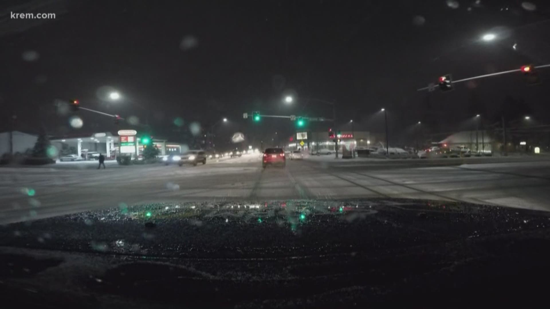
Nearly three inches of snow fell on Wednesday afternoon and into the evening in Spokane.
According to KREM Morning Weather Anchor Evan Noorani, Spokane saw the heaviest single-day snowfall of the season on Wednesday during this mild winter.
Widespread accumulations coated roads and made the evening commute potentially slippery and hazardous. As the sun set, drivers saw the possibility of freezing roads with further snow accumulation on top of the icy surfaces.
Washington State Patrol Trooper Jeff Sevigney said District 4 troopers have responded to 40 crashes since noon on Wednesday. He reminded drivers to slow down and maintain a safe following distance.
District 4 covers Adams, Ferry, Lincoln, Pend Oreille, Spokane, Stevens and Whitman counties.
A Winter Weather Advisory was in effect until 9 p.m. on Wednesday. Advisories continued until 4 a.m. on Thursday for the Palouse, Camas Prairie and Lewiston areas, with slightly higher snow amounts of three to six inches expected in Lewis and Southern Nez Perce Counties.
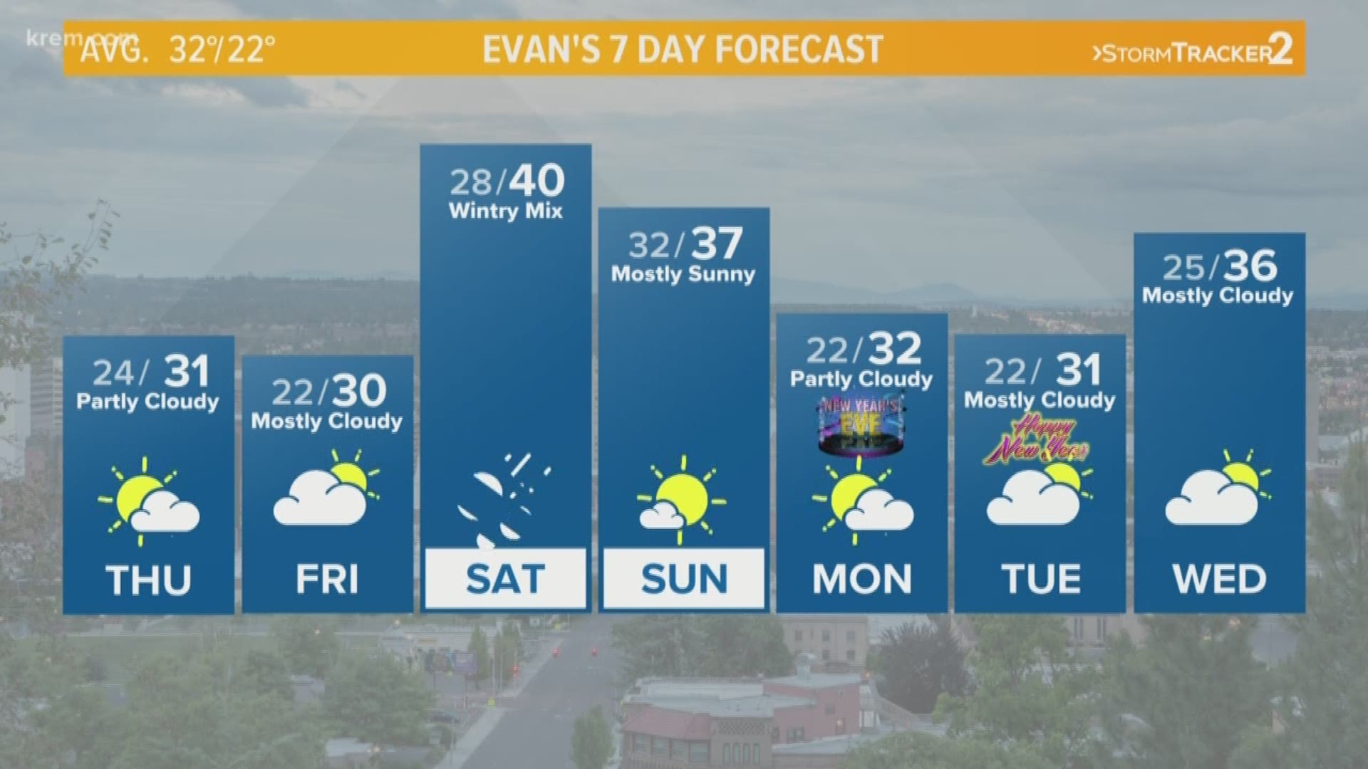
The National Weather Service predicts foggy conditions and highs at or below the freezing mark for the rest of the week in Spokane. That means snow will probably not melt any time soon and is making for icy roads on Thursday morning.
The City of Spokane said in a tweet that crews are addressing icy roads on Thursday morning. They will tackle arterials, hills bridges and problem intersections first.
The highest chance of snow in the forecast so far returns on Friday night, with more snow expected throughout the weekend.
Washington Department of Transportation asks that drivers give at least 100 feet following distance while they plow.


