
SPOKANE, Wash. — Snow started falling in Spokane on Tuesday morning catching some drivers by surprise. The snow was sticking to the roads in many areas as of 10 a.m.
A chance of snow has been part of the forecast but it isn't expected to amount to a whole lot.
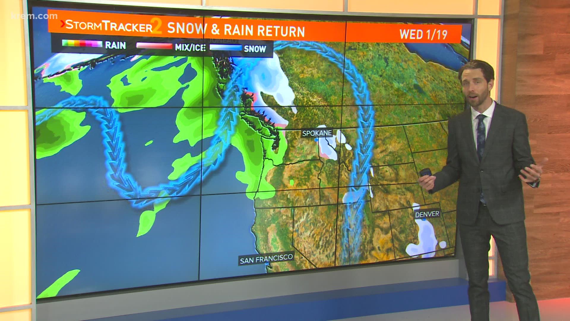
Overall, it's a narrow miss for Spokane and Coeur d'Alene on Tuesday.
We've seen a few light showers and a light dusting of snow, but a bulk of the moisture stays in the Palouse up through the Silver Valley. There a light coating of snow is likely before warm temperatures transition things into rain down low.
There have been no major road issues reported, although the National Weather Service in Spokane did warn of a wintry mix that could create slick conditions on Highway 2 between Wilbur and Airway Heights.
More snow possible Thursday
We catch a brief break in the action Wednesday as a quick ridge builds in. With sinking air and a little moisture from Tuesday, expect another morning of patchy fog.
This week's big weather maker for the Inland Northwest arrives Thursday. This one looks to be mountain snow and lowland rain. But Spokane might see a little overnight snow transition into rain as temperatures rise. Any snow would melt by the afternoon as temperatures soar to near 40 degrees once again.
Following Thursday's rain, things will dry out across the Inland Northwest through the weekend. With a shift in the weather pattern, we might just catch some much-missed sunshine!