
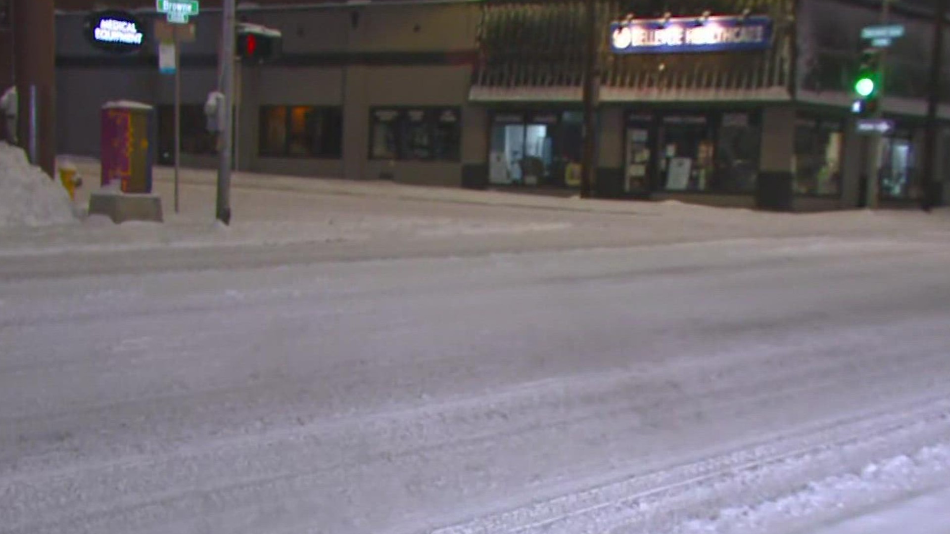
SPOKANE, Wash. — Spokane and North Idaho drivers experienced another slick morning commute on Wednesday after more than an inch of snow fell overnight.
Road crews are out working on main arterials, but most roads still have snow in some places. Drivers should be extra cautious on side roads, which may have an icy layer underneath the fresh snow.
The City of Spokane said it had extra crews out working on Wednesday morning to plow, sand, and de-ice. The city suggested drivers leave early and slow down.
The Washington State Department of Transportation is reminding drivers to leave room for plows. WSDOT East Tweeted that its crews "reported several close calls between plow trucks and other vehicles." It also shared a photo of an SUV darting between plows on I-90 near Sunset Hill.
Warming temperatures throughout the day should help melt some of the snow away ahead of the rain that is on the way. Temperatures will climb to near 40 degrees on Wednesday. Some showers are possible in the afternoon but most of the rain will arrive later in the evening.
The warmer weather and rain will likely turn the roads into a slushy mess. Rain is expected to continue through Thursday morning before tapering off by the afternoon. We'll also see windy conditions on Thursday, with sustained winds from the SW at 10-20 mph and gusts up to 30mph.
In the mountains, snow is in the forecast every day this week. Inches of accumulation are expected each day. That means it is imperative you check the forecast and have the proper preparations, including chains, if you plan on heading up and over the pass at any point in time this week.
Temperatures start to trend cooler again starting late Thursday, and snow showers are forecast for Christmas Eve and Christmas day with highs in the low to mid 30s. A bitter cold air mass will make its way into the region in the week following Christmas and frigid temperatures are expected, with highs in the teens and lows in the single digits.
These storms aren’t anything we haven’t seen in the Northwest before, but keep in mind this time of year is home to more people on roads and a greater potential for traffic and road closures. Drivers should always be prepared for any road conditions when traveling this time of year and make sure to check the mountain pass forecast, as things can be drastically different in the mountains than they are in lower elevations.