
SPOKANE, Wash. — There's no doubt that winter is still here in Spokane and the rest of the Inland Northwest. Drivers were greeted by snow on Monday morning with bitterly cold temperatures on the way.
First, let's talk about the snow. A convergence zone set up over Spokane on Monday morning, dumping several inches of snow. The area was only expected to get an inch or less, but some areas saw four times that amount.
Outside of the immediate Spokane area, most spots, like Coeur d'Alene, got an inch or two of snow, or less.
The City of Spokane has street crews out sanding and deicing on primary arterials and hills. The city asks drivers to be cautious.
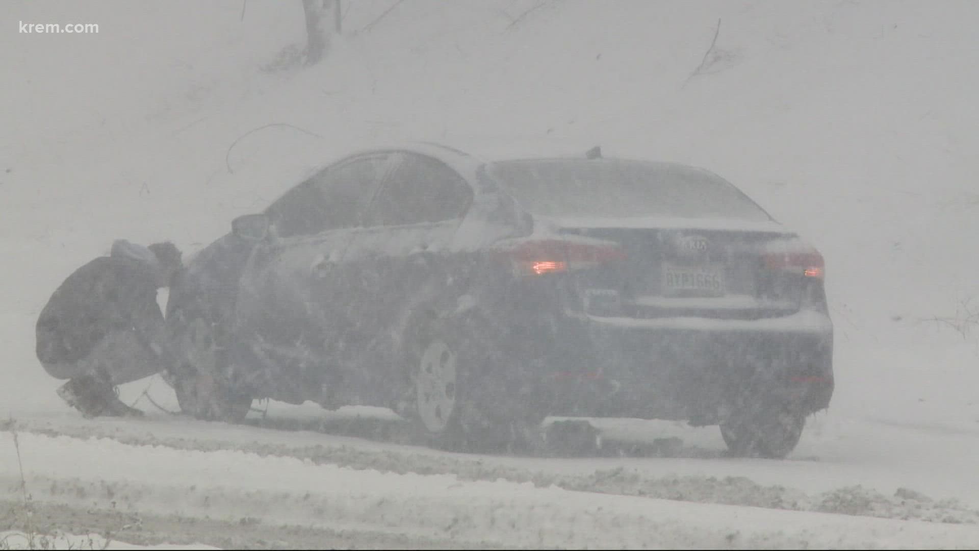
KREM 2 spotted several cars stuck on Ray Street.
"Man, it's a bummer," Mike Thurston said while laughing. He was one of at least seven drivers to get stuck this morning.
"This is the second hill I've tried and failed both of them," Thurston said. "It was almost completely white out. I couldn't believe it. This is one of the most nerve-wracking drives I've ever had."
Sara Hulsizer also got stuck. Her feelings probably mirror what a lot of Spokane drivers felt Monday morning.
"I knew it was going to get cold, and I knew it was going to snow, but not this bad," she said.
Washington State Department of Transportation has had its crews working the highways all morning, that includes Plowie McPlow Plow. The WSDOT morning crews will stay on until 3:30 this afternoon when the evening shift starts.
Areas of the Palouse, including Pullman, could see 1-2 inches. Idaho passed could get 2 to 4 inches of snow. Things will start to dry out Monday afternoon as the cold air moves in.
Winter weather advisories are in place for the Cental Pandhandle Mountains until 10 am on Monday. Northeast Blues, Lewis, and Southern Nez Perce counties are under the winter weather advisory until 4pm.
Bitter cold
The arctic air mass will help bring more sunshine to the region in the days to come, but that won't help much when it comes to feeling warmer. Overnight lows will drop into the single digits with daytime highs near 20 degrees. That's colder than even our average coldest January day, and it doesn't count the wind.
Wind chills will drop to 0 to 15 degrees below zero in the days to come. For that reason, wind chill advisories are in place from 9 pm Monday through 10 am Wednesday. Wind gusting at 30 to 40 miles per hour will have the potential to cause frostbite or hypothermia in as little as 30 minutes.


Cold weather safety
During a stretch of weather like this, it's important to be prepared outside, inside, and while traveling. Dress in multiple layers to stay warm while outside, particularly when the wind is strong and causes wind chills to drop. It's a good idea to keep an eye on your pets too, as some animals don't like the cold as much as others.
Inside, keep the warm air circulating throughout the home, especially where the plumbing is. This gives you the best chance for pipes to not freeze over. People should also check in with their elderly neighbors and family members to make sure they are comfortable during this cold stretch of weather.
Drivers should have an emergency kit in their car while traveling, including blankets, water, phone changers, batteries, and first aid.
The worst of it will come to an end on Wednesday. Clouds will filter back in as temperatures rise heading into the weekend. We should be back near normal by Saturday and Sunday.