SPOKANE, Wash. — Thunderstorms packed quite the punch in Spokane and surrounding areas on Tuesday night into early Wednesday morning.
Many KREM viewers said the storm was the strongest they have seen in more than a decade. While meteorologists at the National Weather Service say the storm was particularly unusual, it is definitely not the strongest we have seen in a decade.
Meteorologist Travis Wilson with the National Weather Service Spokane says the strongest wind gusts in Spokane measured 62 mph at Felts Field.
The last time winds of that strength battered the region was during the windstorm of Nov. 2015, which brought 71 mph gusts to the region. For context, the speeds of a Category 1 hurricane begin at 74 mph.
While the winds on Tuesday night were strong, they quickly tapered off and decreased from 61 mph to 11 mph in less than an hour at the Spokane International Airport.
Wilson added that the strength rather than the duration of the winds made them unusual.
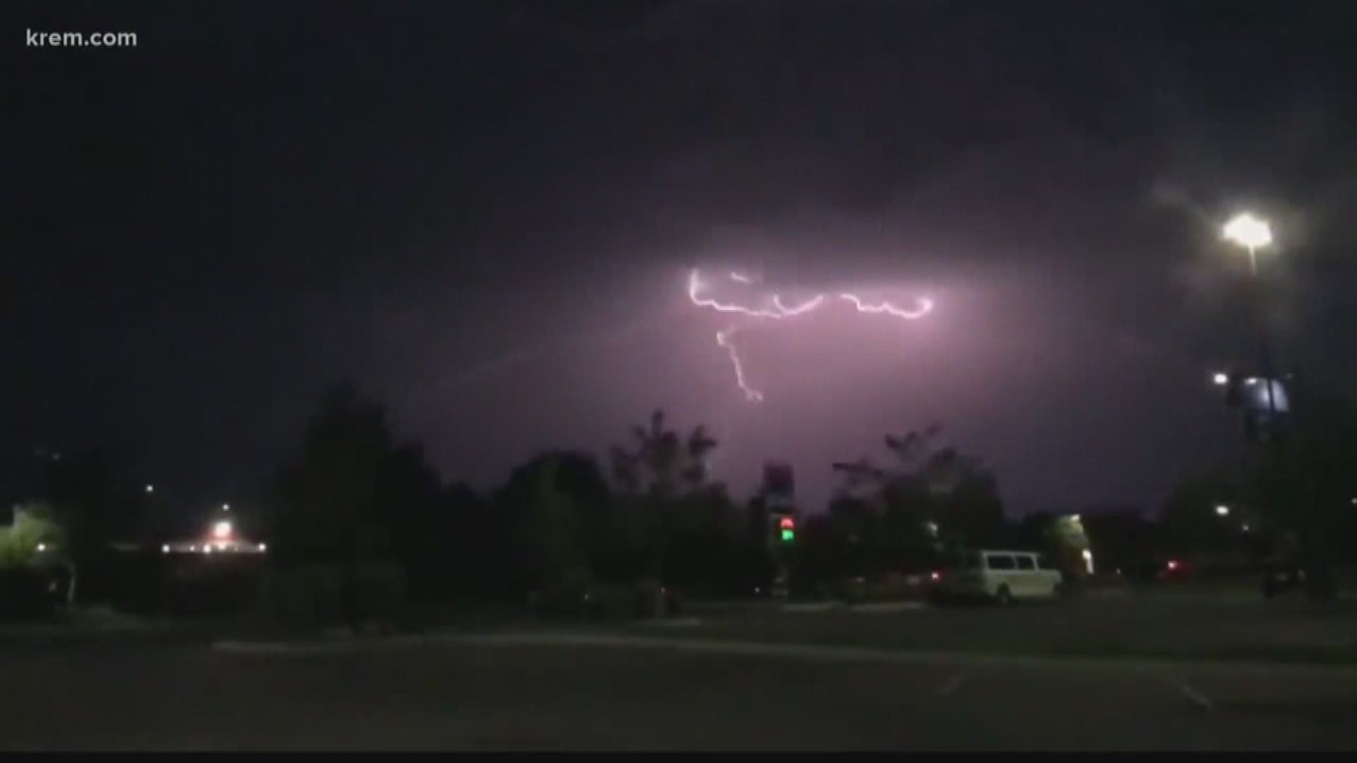
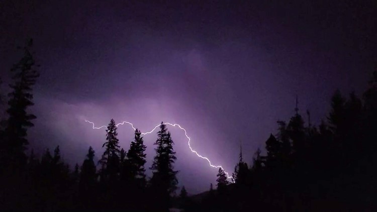
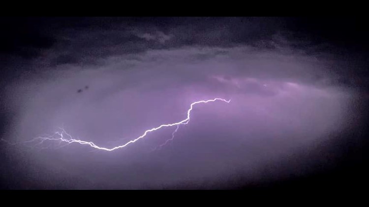
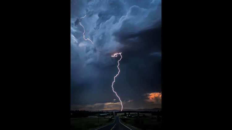
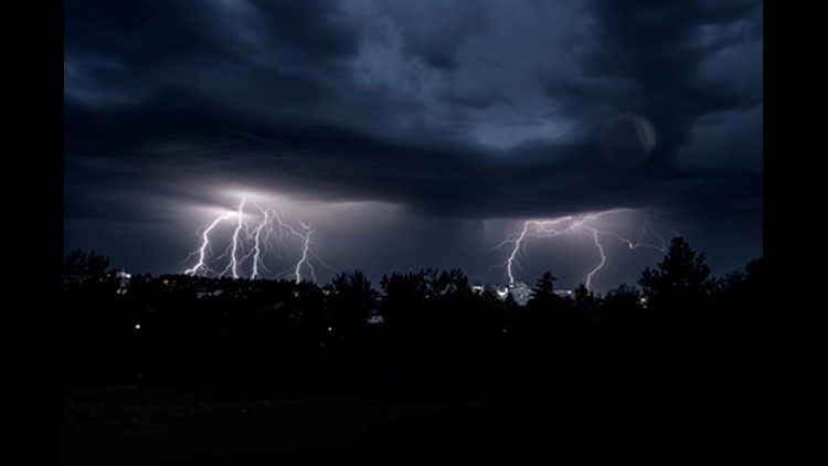
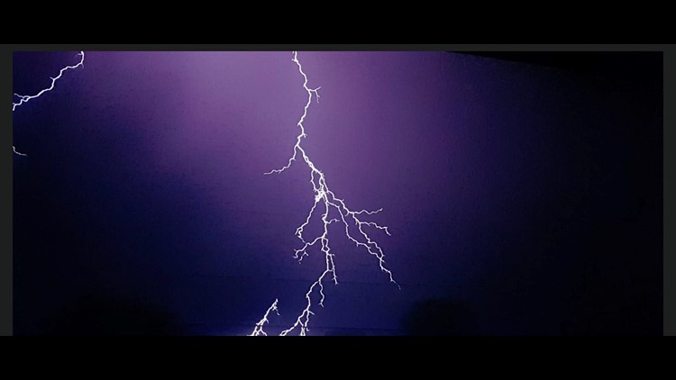
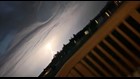
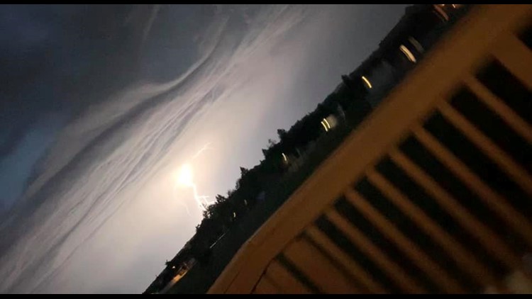
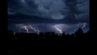
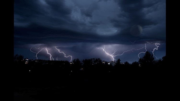
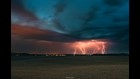
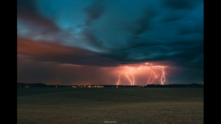
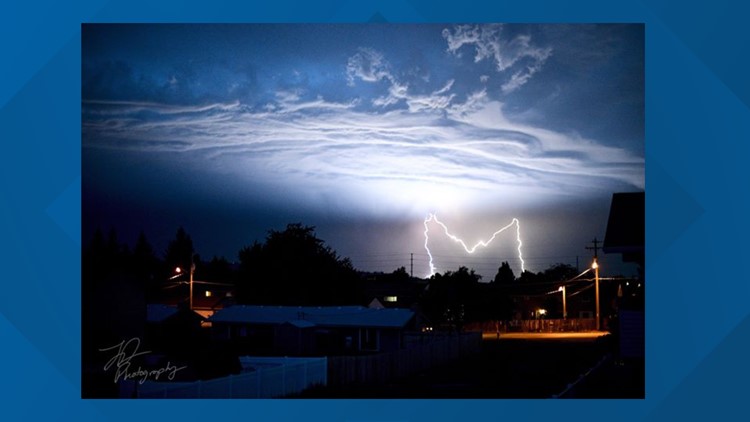
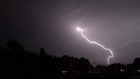
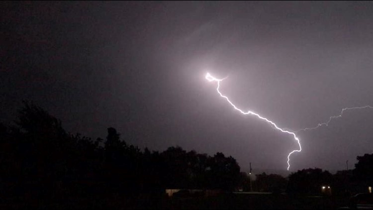
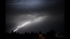
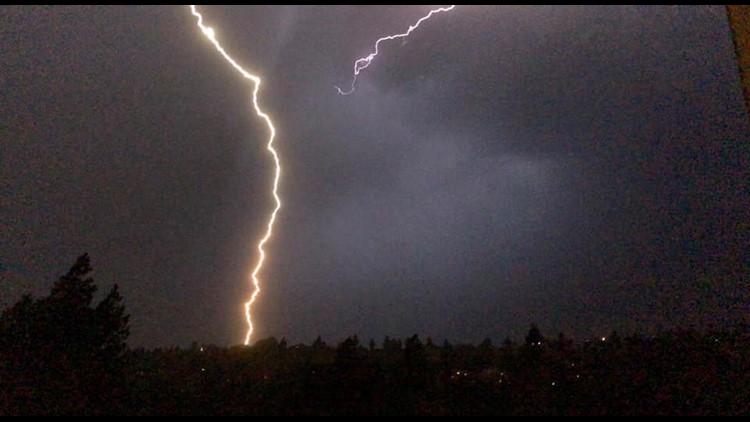
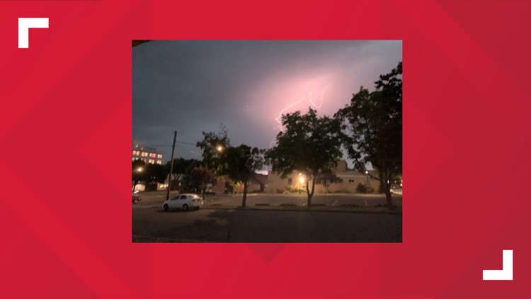
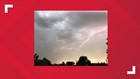
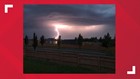
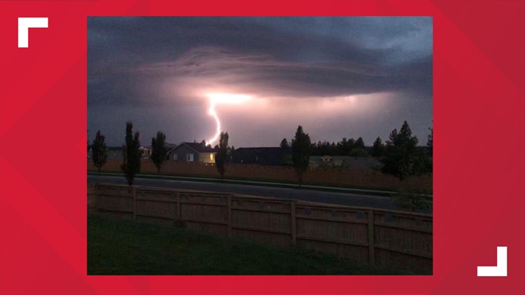
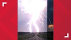
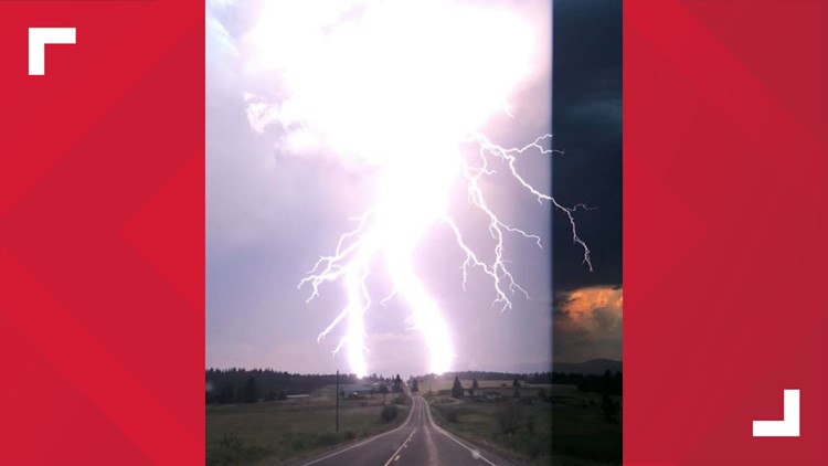
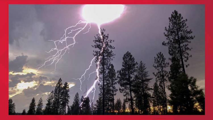
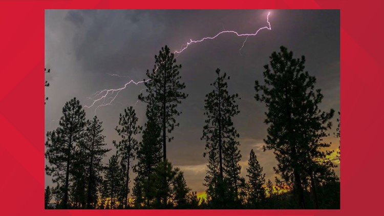
The amount of lightning, however, was impressive. There were nearly 3,500 lightning strikes in northern Oregon, parts of Idaho and eastern Washington combined. In Spokane County, Wilson says NWS recorded 297 lightning strikes, which is a particularly striking — pardon the pun — number, Wilson said.
Wilson said there is not a great deal of data to analyze the rarity of this amount of lightning strikes.
“There was a lot instability in the atmosphere. We had a weather system moving in that the same time that was able to utilize that instability,” Wilson added.
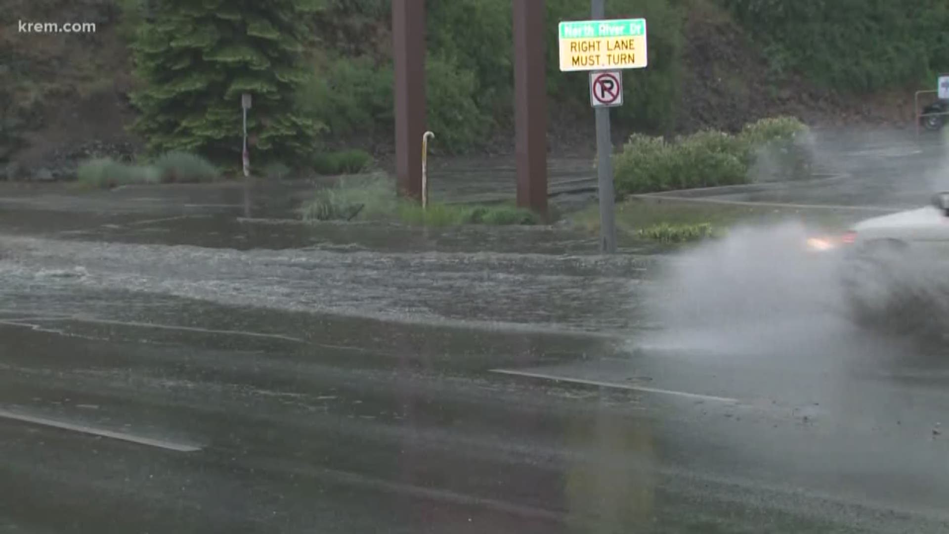
In terms of rainfall, Tuesday’s storm was not all that impressive. NWS recorded 0.23 inches of rainfall at Spokane International Airport in 24 hours.
Viewer photos: Lightning on July 23


“Since these were fairly quick-moving thunderstorms, they didn’t have a chance to put down much rain,” Wilson added.
When Spokane experienced major flooding in May, NWS observed 1.45 inches of rain in 24 hours in west Spokane. An inch of rain normally causes flooding concerns in urban areas, Wilson said.
While the storm did not bring the most rain or gustiest winds Spokane has seen, Wilson said its strength alone made it unusual for spring or summertime in the Inland Northwest.
NWS Spokane will continue to release more information about the storm as meteorologists continue to comb through data.
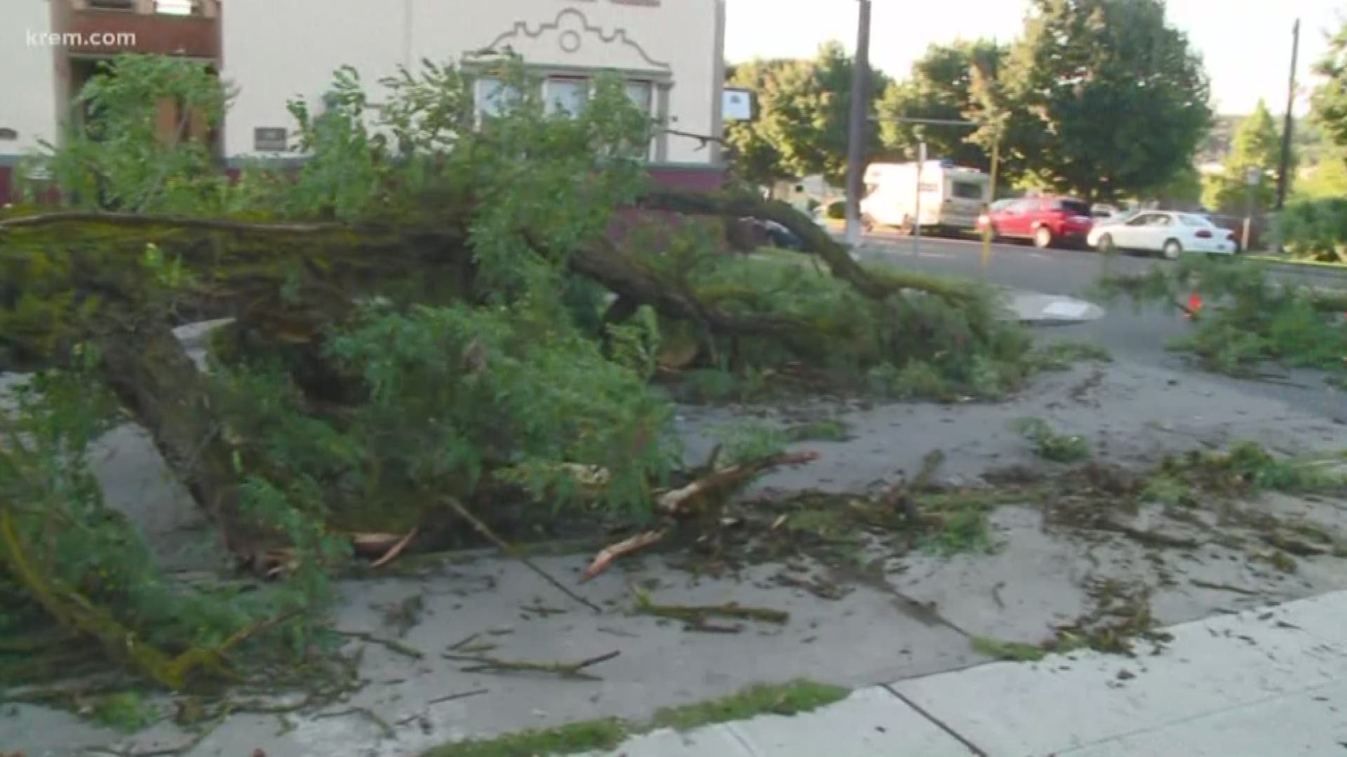
Many KREM viewers are reporting downed trees and power poles throughout Spokane and North Idaho.
People who are seeing damage are asked to report it to NWS. At last check, NWS had not received any reports of tree damage or downed power poles from Pend Oreille County or North Idaho.