After the heaviest round of snow seen so far this season, another storm is hiting the Northwest Friday evening into Saturday morning.
Snow flurries began falling on Spokane's South Hill just before 3 p.m. Friday. The city could see between 1 to 3 inches of snow before the storm ends on Saturday morning.
Coeur d'Alene and North Idaho could see a little more snow than Spokane, with 3 to 4 inches in higher elevations.
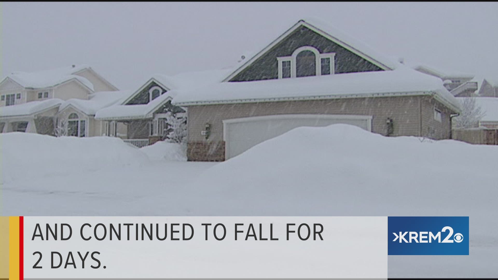
Spokane saw 2.8 inches of snow on Wednesday night, the most of any single day so far this fall and winter season.
Friday's snow event, however, will be different from Wednesday's in that much warmer air will be moving into the region on Saturday.
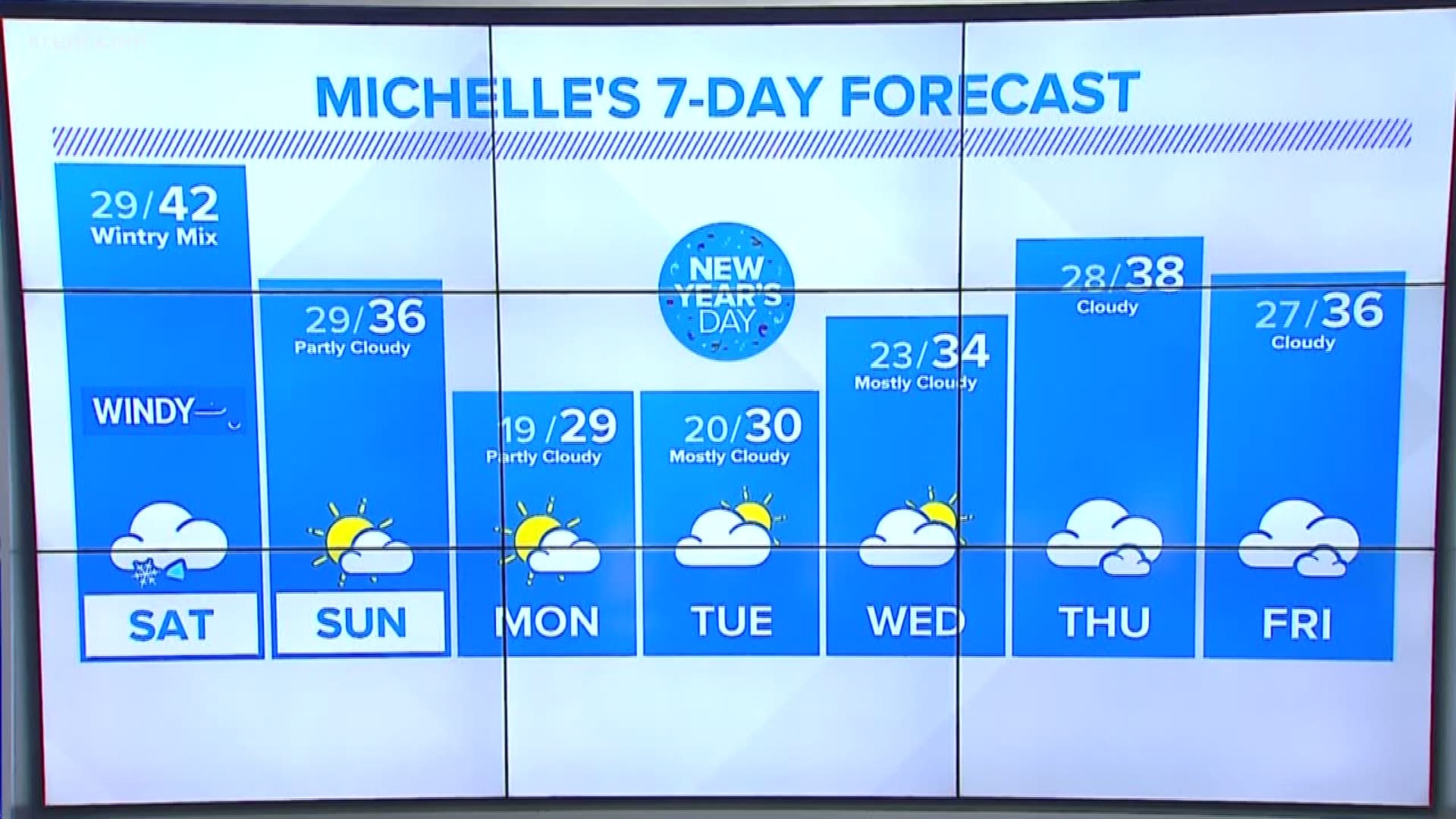
We should see a transition from snow to rain on Saturday morning, with the potential for a brief period of freezing rain in between. Warmer temperatures in the upper 30s to near 40 degrees during the day mean all the snow is going to turn into a slushy mess.
Winds are expected to pick up late in the day on Saturday, and gusts of 30-35 mph are possible Saturday afternoon and evening. Drier weather returns on Sunday.
The current outlook for New Year's Eve and New Year's Day calls for quiet weather and seasonably cold temperatures, with highs in the low 30s and lows in the low 20s.