
SPOKANE COUNTY, Wash. — Tuesday was truly a wild weather day in the Inland Northwest.
On top of the ongoing coronavirus pandemic, different parts of the region saw snow, graupel, rain, a tornado and an earthquake, all before the day was done.
It started in the morning in the Spokane area, with weather quickly changing between snow, rain, graupel and clear skies, which has left many wondering when spring-like weather will finally arrive.
Next, a small tornado touched down outside the southeast Washington city of Richland, as confirmed by the National Weather Service in Pendleton.
But the final act was possibly the most shocking: a 6.5 magnitude earthquake in South Idaho, the largest the state has seen since 1983, struck shortly before 5 p.m.
Largest earthquake since 1983 in Idaho
Shortly before 5 p.m., multiple people from all over the Inland Northwest began reporting shaking from an earthquake. At KREM, reports came in describing shaking from the earthquake from as far south as Boise and as far north as British Columbia.
In total, the earthquake was felt in six states, from Washington to Wyoming. The epicenter was near the town of Stanley, Idaho and was 78 miles northeast of Boise.
According to University of Idaho geological sciences professor Kenneth Sprenke, it was the largest earthquake in the state since 1983.
Tornado near Richland
A small tornado was caught on camera touching down near Richland, Washington at about 2 p.m. on Tuesday.
KREM viewer Shawn Alton shared video of the tornado touching down.
Snow, rain, graupel and clear skies around Spokane
The heaviest showers fell between Highway 195 to the Idaho border.
Accumulations look to stay between a dusting and an inch in Spokane, but between one inch and two inches in Coeur d'Alene.
Thunderstorms also moved through southern Spokane County, producing snow and lightning.
Another opportunity for snow is present early Wednesday morning and looking to follow the same pattern.
Mountains will see heavier impacts with up to a foot of snow possible over the Northern Cascades and between four and six inches over Lookout Pass. This could lead to difficult travel conditions especially in the morning hours.
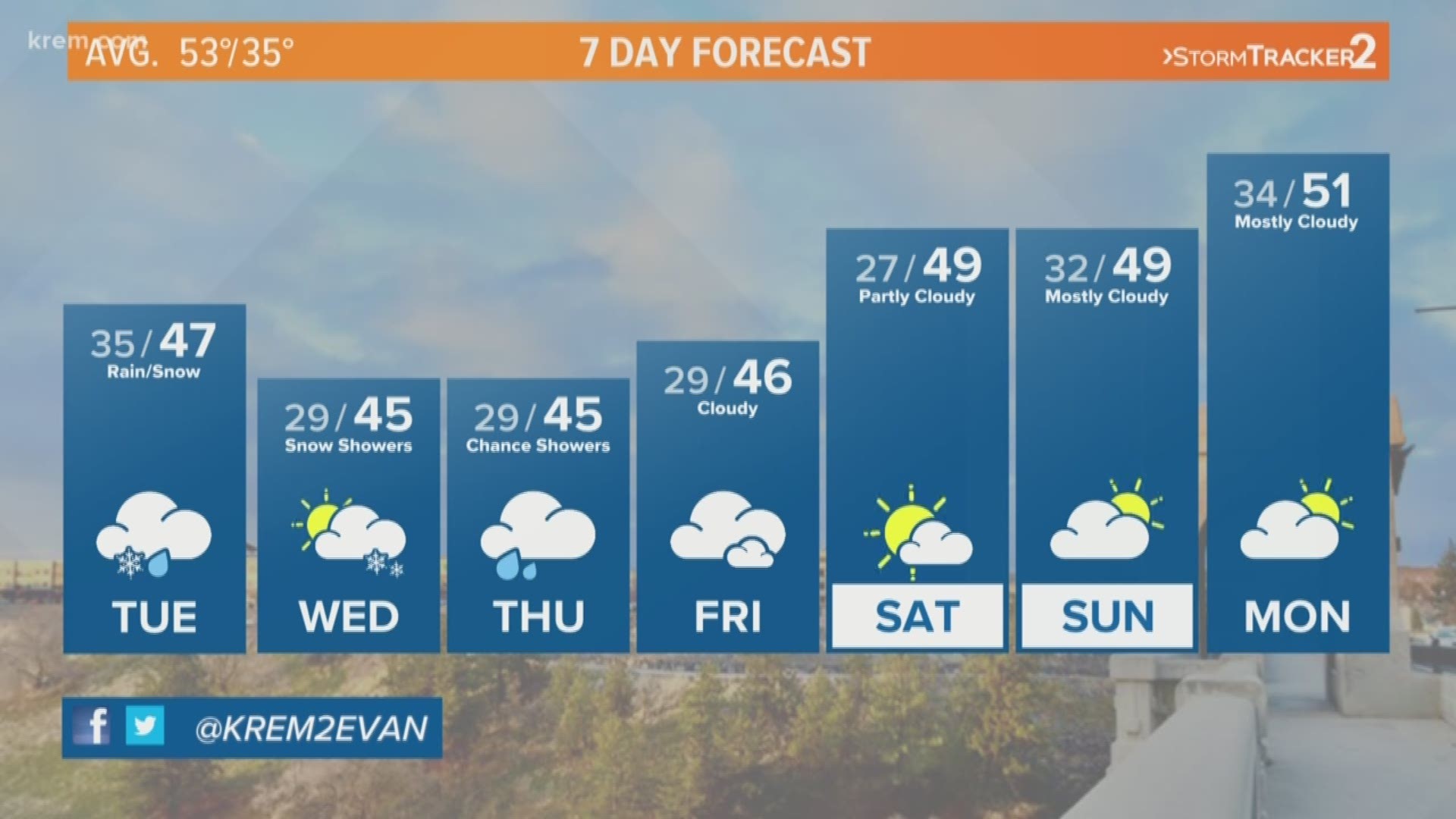
As March comes to a close, we still are waiting for spring-like weather with more sun and warmer temperatures.
The average high temperatures would be around 53 degrees in afternoon hours, but wave after wave of moisture has hindered the sun's rays. We've also picked up on more precipitation in overnight hours with much cooler temperatures, which has led to snow.
Drier conditions are expected by the weekend and the beginning of next week though clouds and a chance of rain and snow remain present. Full sunshine and spring weather may have to wait until at least April.