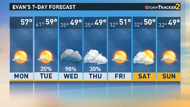
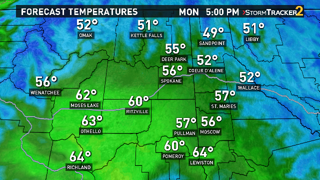
SPOKANE, Wash. -- It seems that Spring is definitely on its way! Saturday and Sunday brought plenty of sunshine and warmer temperatures, and that trend will continue into your week. Forecasted high temperatures on Monday get into the 60-degree range for much of Central Washington. Spokane can expect a high of 58 degrees, and it all comes with plenty of sunshine. Not much is expected to change in this weather pattern until about Tuesday night.
The current high-pressure system is expected to be replaced by low-pressure, bringing cooler temps, light wind, and some rain. It all begins late Tuesday night into early Wednesday morning. Plenty of areas will wake up to morning rain that will likely continue throughout the day.
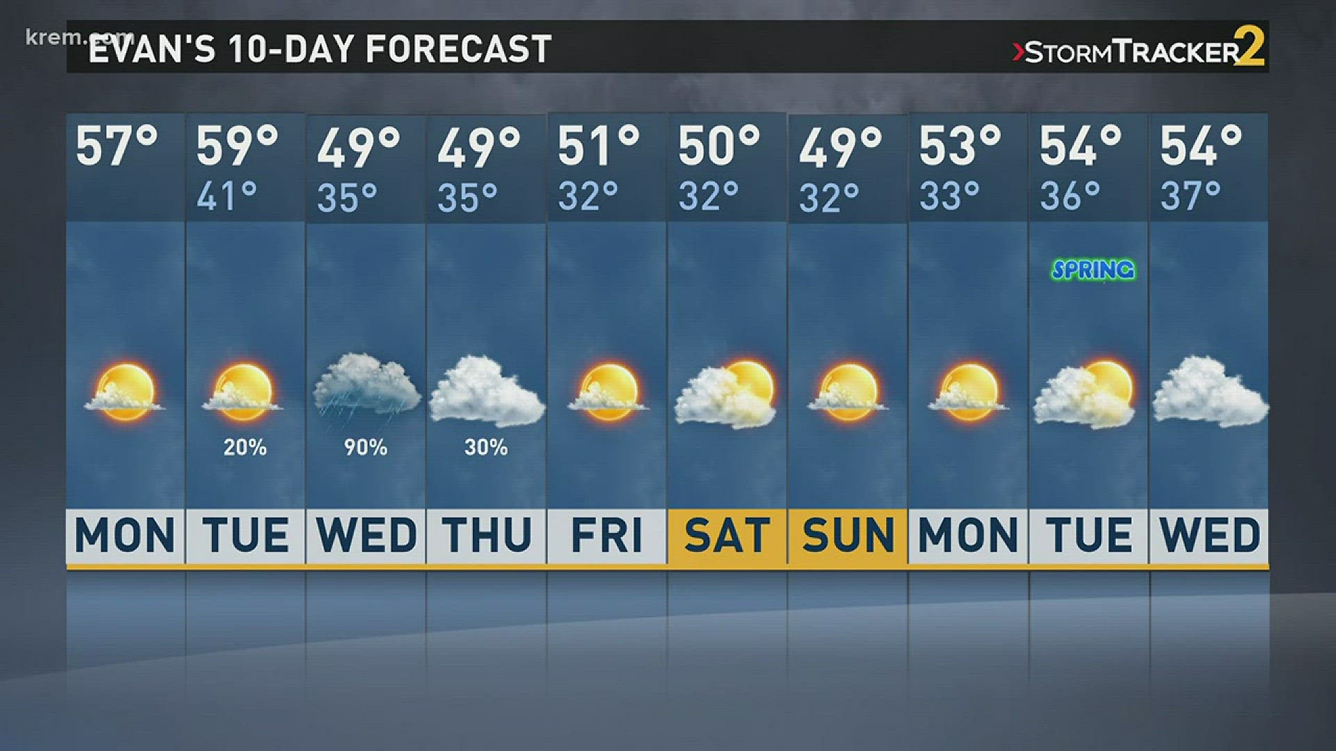
While it will mostly come in the form of rain, higher elevation may see some snow through Wednesday. The clouds may linger into Thursday, but as your week continues, skies should clear up again. Temperatures after Wednesday are expected to cool down a bit, with afternoon high in the upper 40s and lower 50s. Spring officially begins a week from Tuesday, on March 20, 2018. By the time next Tuesday comes, most areas will likely begin seeing overnight lows that are at or above freezing, and mostly dry conditions.