
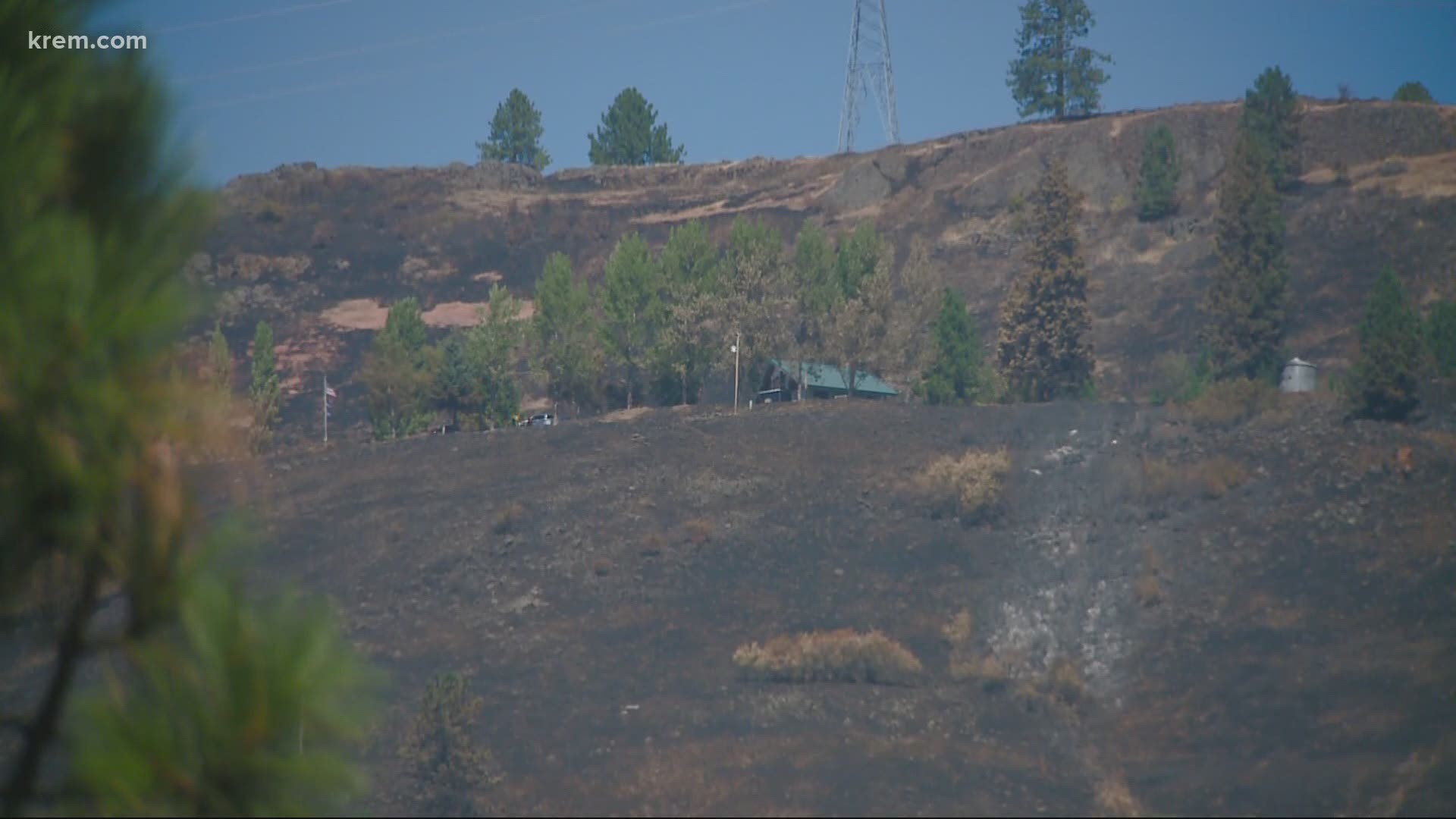
WASHINGTON — Fire season is officially underway, with several active wildfires burning around Washington state and North Idaho.
In past years, the Department of Natural Resources has fought as many as 900 wildfires in a season, with 70% of those in eastern Washington.
Check for updates on the status of fires currently burning in Washington and Idaho below.
Road 28/Cold Springs Road Fire
Location: Omak down to the other side of State Route 17 in Douglas County
Evacuations: There are level 3 evacuations in place for Road L NE and Road 28 NE, there are also Level 2 evacuations along SR 17 from milepost 125 to milepost 128. A combination of Level 2 and Level 3 evacuations are being issued to residents and ranches in the area of Hayes Road, and for all residences east of Road H NE toward SR 17.
A level 3 evacuation was issued for all of the Cameron Lake area, as well as for homes west of Timm Road along the Columbia River to SR 17 and north to SR 97 to Malott. Residents should evacuate toward SR 17 and SR 97.
Road Closures: SR 17 is closed from Bridgeport Hill Road east to Leahy Junction, Pearl Hill Road, Highland Orchard Road, Road P, and Road 28 from Pearl Hill Road at Hanford’s residence to Road K and SR 17 are also closed.
Evans Canyon Fire
Location: Eight miles northwest of Naches, Washington
Evacuations: Level 3 evacuation orders remain in place for all homes in the Yakima River Canyon. Level 3 orders have been lowered to Level 2 for homes north of Wenas Lake, west of Longmire Lane, and north of Naches Wenas Road in Selah. Level 2 evacuations extend south to Wenas Creek, east of Sheep Company Road to the Yakima River and in the Yakima Canyon.
Level 2 evacuations are in place for Overlook Road, Coyote Run Road, and Long Tom Canyon Road in Kittitas County. Level 2 evacuations are also in place for all residences south of Big Horn Recreation area and north of the Roza Recreation area on the east side of the Yakima River. A Level 2 notice means the fire is approaching and get ready to leave at a moment's notice.
Road Closures: North Wenas Road is closed at Longmire Road. BBQ Flats and Wenas recreation areas are closed. The Yakima River Canyon is now closed, including boat launches and campgrounds.
Acreage: 73,868
Containment: 20% - Estimated containment date Nov. 1
Damage: At least five buildings burned
Cause: Unknown
Heaton Road Fire
Location: Spangle, Washington, in Spokane County
Evacuations: Spokane County Fire District 3 has notified residents between Latah Creek and Valley Chapel Road, northeast of Kentuck Trails Road, to be prepared to leave, according to the Spokane Regional Emergency Communications Center.
Road Closures: None
Acreage: 320
Containment: 0%
Damage: Unknown; structures are threatened
Cause: Unknown
Whitetail Loop Fire
Location: Two miles north of Orofino, Idaho
Evacuations: The Clearwater County Sheriff's Office will contact homeowners when it is safe to return.
Road Closures: All road closures have been lifted. Extreme caution is still advised as fire crews will remain in the area continuing mop-up and patrol efforts.
Acreage: 499
Containment: 100%
Damage: One home and several outbuildings
Cause: Bird striking power lines
Palmer Fire
Location: 7 miles southwest of Oroville, Washington
Evacuations: Level 3 evacuations are in place for the intersection of Alemandi Rd. and Loomis-Oroville Rd., and south of Ellenmeham Rd. to Ellis Barnes Rd., west of Wannacut Lake Rd. to the intersection with Ellis Barnes Rd, and any area near the burn perimeter according to NIMT.
Acreage: 17,988
Containment: 91%
Damage: None
Cause: Unknown
Bartholomew Fire
Location: 1/2 mile east of Medical Lake
Evacuations: none
Acreage: 310
Containment: 100%
Damage: One home, three outbuildings lost
Cause: Under investigation
This story will continue to be updated throughout the 2020 fire season.